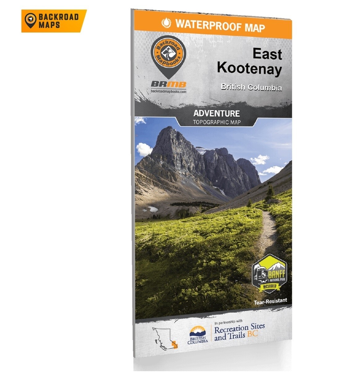
East Kootney BC Map
Tucked away in BC's southeastern corner is one of the province's most exciting outdoor adventure destinations the East Kootenays are a land of deep lakes, crystal-clear rivers, towering mountains and wide-open valleys. This waterproof recreation map charts the entire region, from the healing waters of Radium Hot Springs to the mountain playground around Fernie, the wilderness of the Purcell Range and beyond. We have expanded the map coverage north to include all of Banff National Park in Alberta, more of the Flathead area, the area north of Golden, and even a portion of the West Kootenays. Printed on durable, water-resistant material and loaded with industry-leading cartographic detail, this is your ultimate guide to one of Canada's premier outdoor recreation areas.
Print Features
- Printed on durable waterproof and tear-resistant material
- Includes industry leading cartographic detail and state-of-the-art relief shading
- Numerous updates and expansions from our last edition, including clearer definition of camping parks, RV sites, day-use sites, and private campgrounds
- Large-scale 86 x 166 cm (34 x 65.25 in) map derived from our Backroad Mapbooks at 1:200,000 scale
- Seamless map coverage requires no page turning
- UTM grids with latitude and longitude make navigating the map easy
- Detailed index for recreation sites, trails and provincial parks
- Labelled backroad attractions
- And much more!
Product Features
This tear-resistant, waterproof map of the East Kootenay region is easy to use and carry on all your outdoor adventures. Our newest edition of the map includes industry-leading topographic detail, unparalleled road coverage and countless trails, rec sites, and paddling routes, along with labelled fish species and stocked fishing lakes and rivers. Numerous updates and expansions from our last edition include added private leased lands and more clearly defined camping areas, making this the most up-to-date topographic map available for the East Kootenay region!
- Easy-to-read maps derived from our Backroad Mapbooks at 1:200,000 scale
- Industry-leading cartographic detail and topographic relief shading
- Addition of private leased land keeps you in bounds while exploring the wilderness by foot, bicycle, ATV or truck
- The most complete recreation, industry and county road coverage available for the East Kootenay region
- Thousands of kilometers of trail systems for ATVing, paddling, snowmobiling, hiking, mountain biking, cross-country skiing and snowshoeing
- Highlighted Wildlife Management Units (WMUs) for anglers and hunters
- Labeled fish species and stocking information for fishing lakes and rivers
- Area features such as Regional Districts, Ski Resorts, Mountain Caribou motorized restricted areas, First Nations, Private and Leased Land, and more
- UTM grids with latitude and longitude make navigating the map easy
- Hundreds of land and water geographic features
- National, Provincial and Regional Parks and Campsites
- Detailed index for recreation sites, trails, and provincial parks
- Trail charts for National Parks including Banff National Park, Kootenay National Park, Glacier National Park, and Yoho National Park
- List of all the best local outdoor retailers and outfitters
- And much more!

